Hiking in
Sana
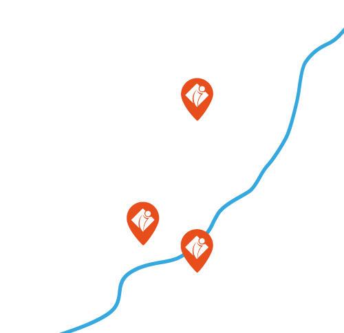
Entre Pigail et Bernès
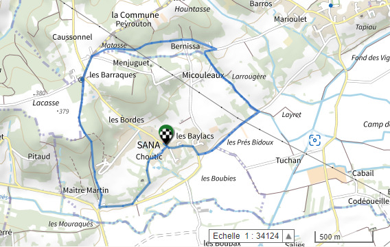
Departure : Face à la mairie de Sana
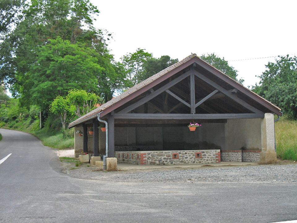
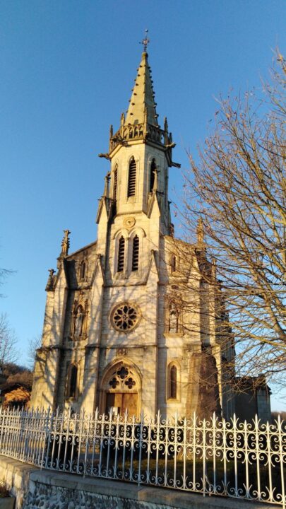
1. Take the D10J road past the church. Continue on the D10J for 300m then, at the wash-house, turn slightly right to follow the road.
2. At the crossroads after the SANA sign, turn left onto the Route des Vignes. Continue on this road for approximately 750m.
3. After the small bridge (yellow markings), turn left onto the grassy path along the Pigail stream heading upstream.
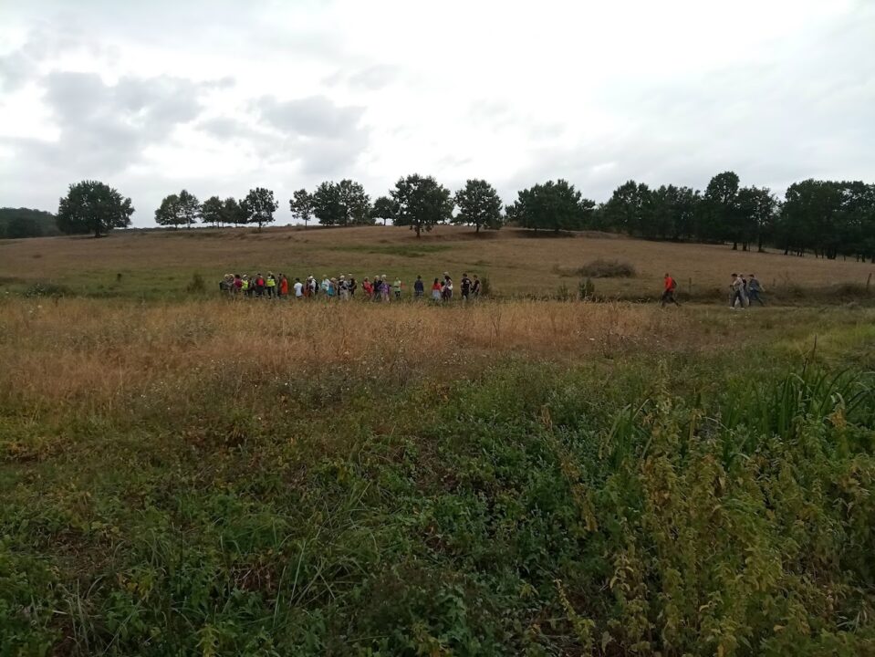
4. Follow the Pigail stream for about 800m, then turn right along the fence to join the BERNISSA path (take a break and enjoy the view!).
5. On the tarmac road, turn left
6. At the bend, take the grassy path opposite (yellow markings).
7. Follow the country lane for about 900m until you reach the D10A.
8. Take the road on the left and continue towards the water tower. Watch out for cars at the crossroads!
9. At the crossroads, go straight ahead into the impasse du château.
10. Continue straight ahead, following the grass path. Then enter the wood and follow the path for 800m (yellow markings) to the D10A. Watch out for vehicles!
11. At the D10A turn left.
12. At the crossroads, turn left uphill towards the village
13. After 500m, turn right onto the Chemin de Choutic as far as the church.
14. At the church, turn left to return to your starting point.
Distance
6.2 Km
Duration
1h45
Elevation gain
D+ 100m
Difficulty
Loop - Easy
Shared Trail
Horseback riding
Bike
Good hiking behavior

Hunting period September to June
Respectez le code de la route
Pensez à votre sécurité : utilisez un équipement adapté
No fires
Prohibited waste
Picking prohibited
Prohibited thermal engines
Keep dogs on leash