Hiking in
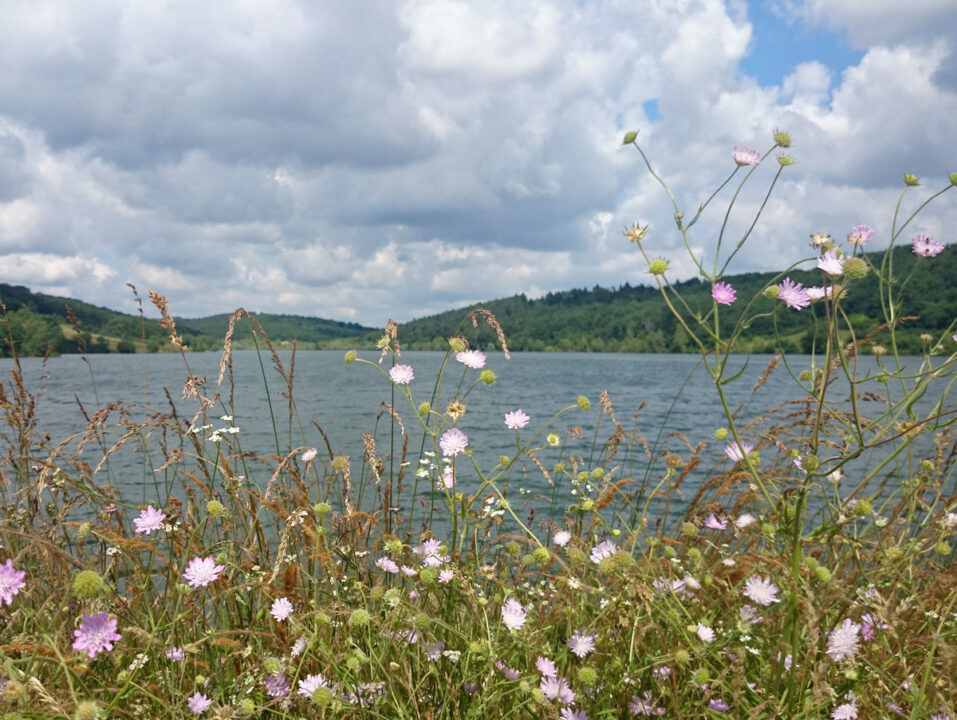
Lac de Savères
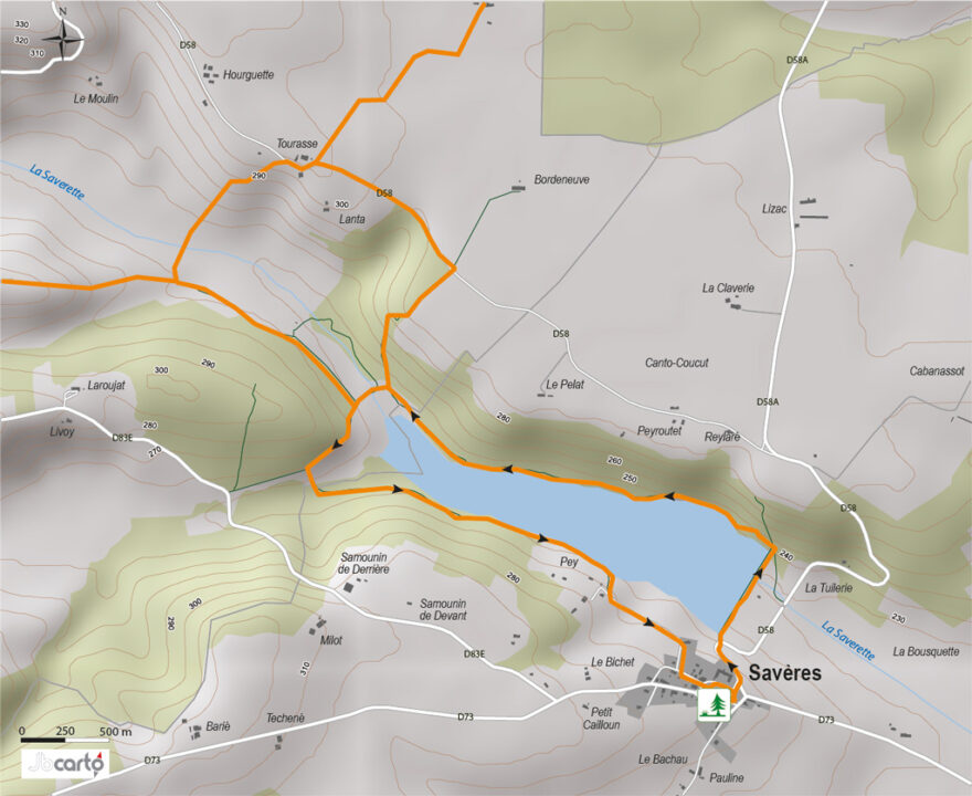

Departure : Savères village square
1. With your back to the bell tower and in front of the church entrance, turn right to join the D58, which you follow to the left for almost 200 m. Leave the road at the first bend via a small flight of steps.
2. Follow the dike to the right along its entire length.
3. At the end of the dyke, turn left onto the path that runs alongside the lake on its north shore. At the crossroads, turn left and cross the Saverette by the wooden footbridge.
4. After crossing the road, continue left along the Laroujat wood.
5. At the crossroads, you can make a short detour to the Stèle du Maquis by going straight ahead to the road, which you then follow to the left for 100 m. Retrace your steps and take the path on the right at the crossroads back to the ford.
6. Cross the road and follow the path on the left that runs alongside the lake.
7. Walk along the opposite side of the lake. Towards the end, the path leaves the shore and joins a small road which you follow for 400 m.
8. Turn left through the village to reach the church.
Distance
5 Km
Duration
1h15
Elevation gain
D+ 100m
Difficulty
Loop - Easy
Shared Trail
Horseback riding
Bike

Good hiking behavior

Hunting period September to June
Respectez le code de la route
Pensez à votre sécurité : utilisez un équipement adapté
No fires
Prohibited waste
Picking prohibited
Prohibited thermal engines
Keep dogs on leash


