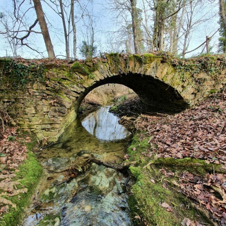
Pont de Buque
Departure : Montégut-Bourjac bus stop, D36D
1. Walk 60 m downhill towards the church and turn right onto the Chemin des Feuillets, continuing to the end (Chemin des Feuillets: the ruins of Pouègues, known as ‘Pouèges’, an ancient quarry site, 18th-century medieval keep, small spring).
2. At the end of the path, turn right onto the D62D, after the Gravette stream, you reach a place called Longuemorte and pass Amarok Ride, to continue for 450 m and turn left onto the municipal road.
3. After 400 m, take the pretty stone-built Pont de Buque, which spans the Loubrague stream (Caution: this crossing is forbidden to horse riders and any combustion engine).
4. Cross the road and take the wooded path heading uphill towards Picart. At the end of the path, take the track on the right and continue to the end to reach the road.
5. Turn left, then straight on for 1 km and at Les Monges, turn left to reach the village and the foyer rural (you can reach the village 500 m before).
6. Keep to the right at the crossroads at Antras and walk through part of the village to the starting point 1km away.
Distance
5.4 Km
Duration
1h45
Elevation gain
D+100m
Difficulty
Loop - Medium
Shared Trail
Bike
Good hiking behavior
Hunting period September to June
Respectez le code de la route
Pensez à votre sécurité : utilisez un équipement adapté
No fires
Prohibited waste
Picking prohibited
Prohibited thermal engines
Keep dogs on leash


